Weather
When interpreting wind, wave and tide forecasts, it's important to understand the key parameters and how they influence activities like diving, or boating to a dive location.
Here's a step-by-step guide to better understanding what potential diving conditions could be:

Reading Wind Forecasts
-
Wind Speed: Measured in knots (kt), miles per hour (mph), or meters per second (m/s).
- Light Winds (0-7 kt): Calm conditions, ideal for activities like diving.
- Moderate Winds (8-16 kt): Some surface chop; look for a protected dive site.
- Strong Winds (17+ kt): Increased for high waves and surge.
-
Wind Direction: Indicates where the wind is coming from.
- Usually displayed with arrows. The arrow points in the direction the wind blows to.
- Align this with your activity (e.g., for diving, offshore winds can improve visibility).
- Wind blowing offshore can have a calming effect for diving conditions.
-
Gusts: Sudden increases in wind speed, typically higher than sustained winds.
- Especially important for small crafts.
How to Analyze
-
Use charts or visualizations like the Windy widgets we've used across the website.
-
Make sure to check how the wind evolves over time (use the time slider at the bottom) because wind can change quickly.

Reading Wave Forecasts
-
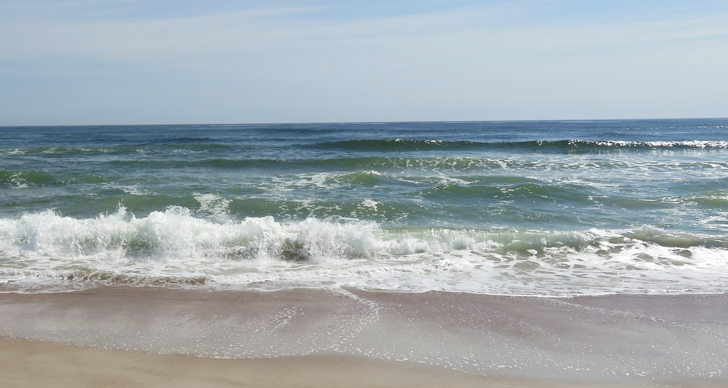
Wave Height: The shorter the waves, the better it is for boat charters and shore dives.
- 0-1 ft: Calm to small waves, excellent for diving.
- 2-3 ft: Moderately strong waves, can cause surface chop and make for a challenging entry. Proceed with caution
- 4+ ft: Rough seas
-
Wave Period: Time (in seconds) between wave peaks. The longer the wave period, the smoother the ocean conditions will most likely be.
- Short Period (≤3 s): Choppy and uncomfortable.
- Medium Period (4-7 s): Potential for discomfort
- Long Period (≥10 s): Smoother waves, less impact on divers and boats.
-
Wave Direction: Indicates where waves are heading.
- Use this with wind direction; conflicting directions can create messy seas.
- If you see that there are western -> winds, look for a dive site that won’t drive wind into your planned dive site.
How to Analyze
Look for the combination of height and period:
- Small height + long period: Gentle rolling swells, ideal conditions.
- High height + short period: Chaotic, potentially dangerous.
Match wave direction with your planned route or activity:
- Avoid routes with direct head-on waves for boats.
- Plan dives in protected areas shielded from waves.

Reading Tide Forecasts
-
Tide Type Indicate how many tide cycles we have per day
- Semidiurnal Tides: In the Northeast, here are two high and two low tides each day of similar heights.
-
Tide Levels: Indicates how high the water levels will be
- High Tide: The highest water level in a tidal cycle.
- Low Tide: The lowest water level in a tidal cycle.
- Tidal Range: The vertical difference between high and low tides.
-
Timing: Sudden increases in wind speed, typically higher than sustained winds.
- Tide Times: Tides are predictable due to their astronomical nature. Tide time predictions are found in tide charts, like on NOAA.
-
Current, Speed and Direction:
-
Flood Tide: Water level rising as it moves toward high tide.
-
Ebb Tide: Water level falling as it moves toward low tide.
-
Slack Water: Period of minimal current between flood and ebb tides. In rivers, tidal currents may reverse the normal flow near estuaries and coasts.
-
Tide Times: Tides are predictable. Tide time predictions are found in tide charts, like on NOAA.
-
How to Analyze
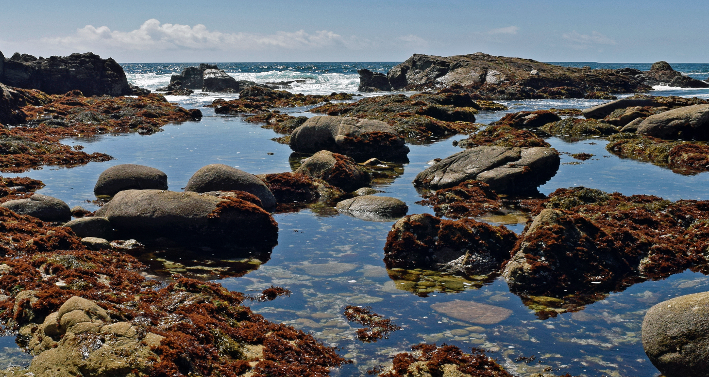
- Safety: Low tides may expose hazards like rocks; strong tidal currents can be dangerous.
- Diving: Consider planning dives during slack water for calmer condition.
- Infrastructure: River diving depends on precise tidal knowledge. Divers often approach tide data differently depending on ocean diving or river diving.

Combining Wind, Wave and Tide Forecasts
-
Check Correlations
- Strong winds typically generate rougher, shorter-period waves.
- Calm winds often align with smoother wave conditions.
-
Timing
- Look for patterns of decreasing wind and wave height when planning diving activities.
- Consider tide times, as they can amplify or reduce water movement in coastal areas and rivers.
- After effects of swells, winds, waves can have a lingering impact and reduce visibilty for a day or two.
Recommended Tools
- Windy: Visualizes wind and wave patterns in real time.
- NOAA Marine Forecasts: Reliable wind and wave data for U.S. waters.
By understanding and correlating wind, wave and tide data, you can get the most out of your diving excursions. Often times divers have a plan B (C or D) dive site picked out as divers do their best to interpret conditions, but we don't always get it right. We may even go with the third or fourth site we check out so it's useful to know what other dive sites are in close proximity to plan A.
Wind
Waves
We like tools that Windy generates at they include easy-to-understand weather visualization. To make the most of the Windy widgets you will see around our website, check out the guide below:
-
Choose a Location
- Search for a specific location by double clicking on the map to pinpoint an area.
-
Use Multiple Weather Data Points to Plan your Dive
- Wind: Overview of wind patterns and if there may be waves.
- Waves: Provides wave height, period, and direction of waves.
- Tides: Provides high tide and low tide estimates.
- Air Temperature: Helps determine topside conditions and if you’ll need to warm up during surface intervals
-
Adjust the Time Scale
- Use the time slider at the bottom of each widget to view forecasts in hour intervals
- Note the forecast reliability diminishes further out in time.
-
Dive-Specific Tips
- Focus on wind direction and speed, wave height and period, and tide times for planning dives. Then check these against the direction your dive faces in places like Google Maps.
By regularly cross-referencing weather models and using the forecast details, you can best plan your dives and plan them safely.

